Hiking your Way up to the Highest Peak on the Island
Discovering freshwater oases, rocky landscapes and amazing views
Karakteristike
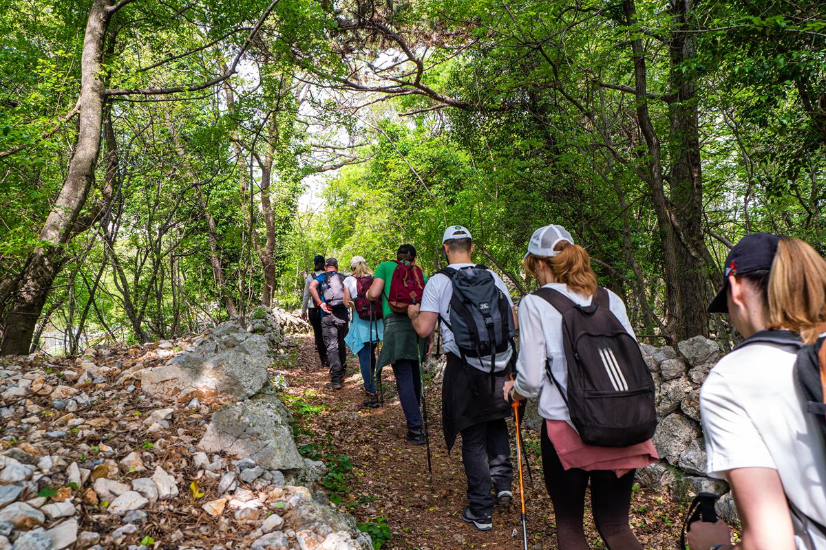
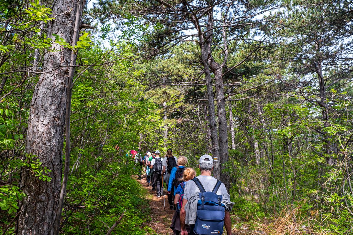
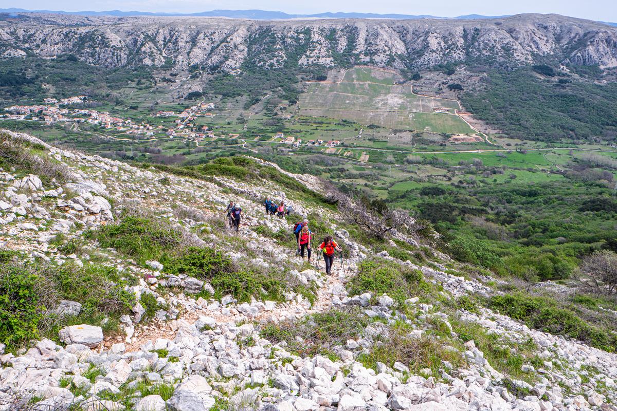
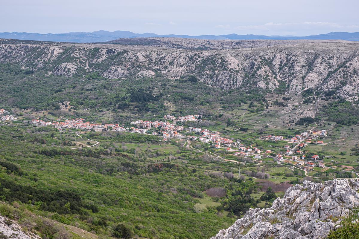
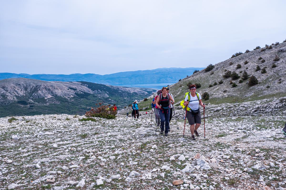
This trail will take you to Obzova, the island’s highest peak, and the Kunjalabor viewpoint, offering stunning views of Baška and Northern Velebit. The karst terrain dominating the southern part of the island was formed by heavy rains and fierce bora wind, creating sharp, tooth-like rocks of different shapes and sizes. In only a few small, grass-covered areas surrounded by drystone walls, you will find a pond, a freshwater oasis in an otherwise waterless karst.
This is what you will see at the very start of the trail in Draga Bašćanska, from where it ascends in the direction of Plakara. Make a short stop by the Plakara pond on your way to the ridge. Ponds were of enormous importance in the karst area. They provided water for cattle, irrigation, and fire extinction, but were also a source of drinking water. There is an intersection of roads at Plakara; you should first turn left to reach Obzova (569 m), a hill on a large karst plain with a peak marked as a pile of stones in the shape of a pyramid. Take a break and look around; wherever you set your eye, the view will be unforgettable.
Returning to Plakara, continue to the Kunjalabor viewpoint and enjoy the view of the Baška Valley and the Velebit range. Soak in the peace and quiet of the place and take the same way back to the starting point.